Marine intelligence
for scaling ocean impact
Accelerating time to management decisions
through rapid survey
and immediate analysis
Trusted by marine asset managers worldwide


Rapid survey
Survey in days what usually takes months.
Our high-performance underwater glider is designed for speed and precision in complex marine environments. High speed and all-day operations mean we achieve collection rates 100x dive operations - speeds of 10km (6m), 10ha (25 acres), and 50,000 images per hour.
Our integrated sensor system captures high-resolution geotagged images and associated environmental data.
Real-time analysis
Insights when you need them.
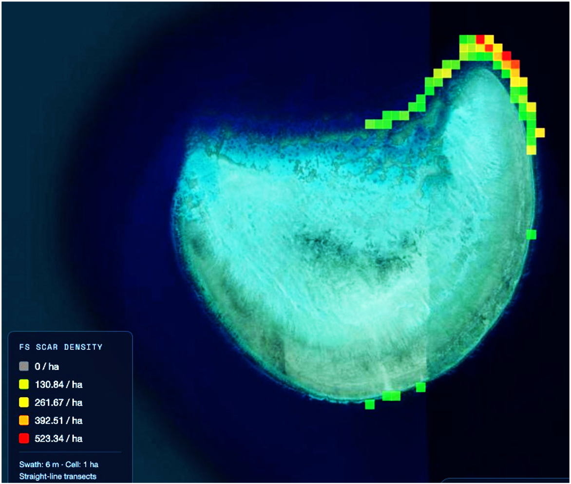
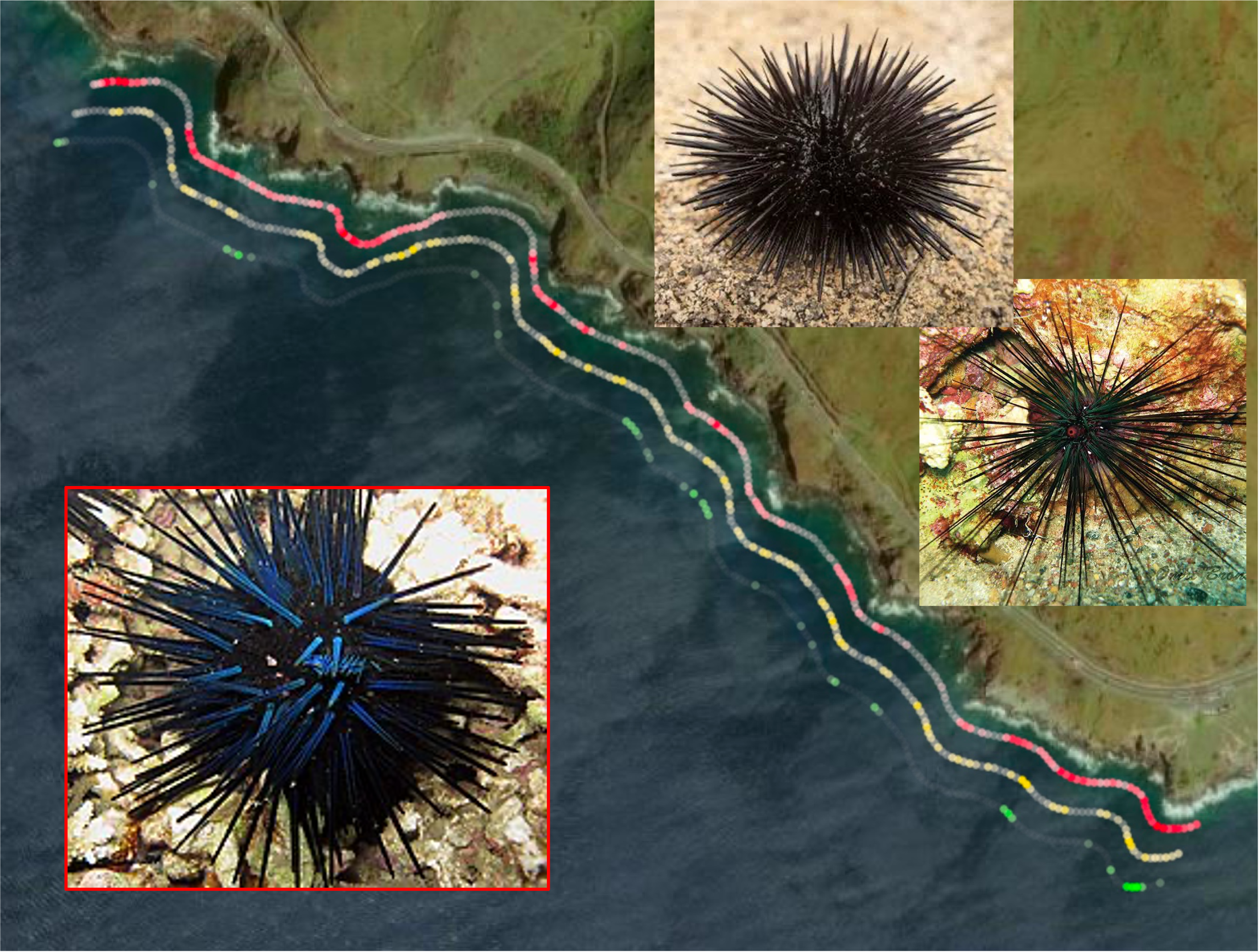
Our proprietary dataset of over 6-million images and numerous targeted AI models gives you unparalleled ability to measure the environment. We have a proven ability to adapt our core models to niche targets including coral, seagrass, fish, coral, megafauna and benthic invertebrates.
Captured images are analysed using this model suite both live on the boat and within days of collection.
Coastline-scale data capture
No job is too big.
Rapid collection and AI analysis means coastline-scale capture of millimetre scale imagery becomes feasible in a single field trip.
Trusted data
Auditable and tracable data platform.
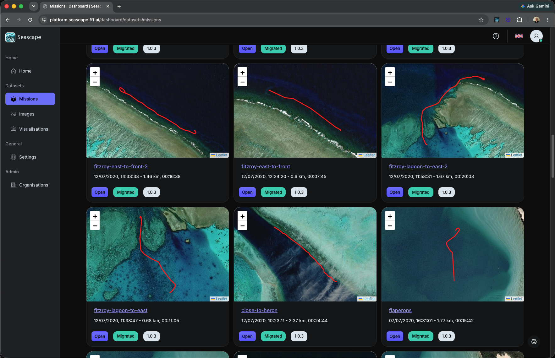
Seascape - our data platform - enables you to securely store, explore and operate on survey data. Captured data is traceable and outputs are reproducible so you know exactly where your information came from.
Archived datasets support re-analysis in the future, when your objectives change or new discoveries are made.
Tell us what you need to understand underwater